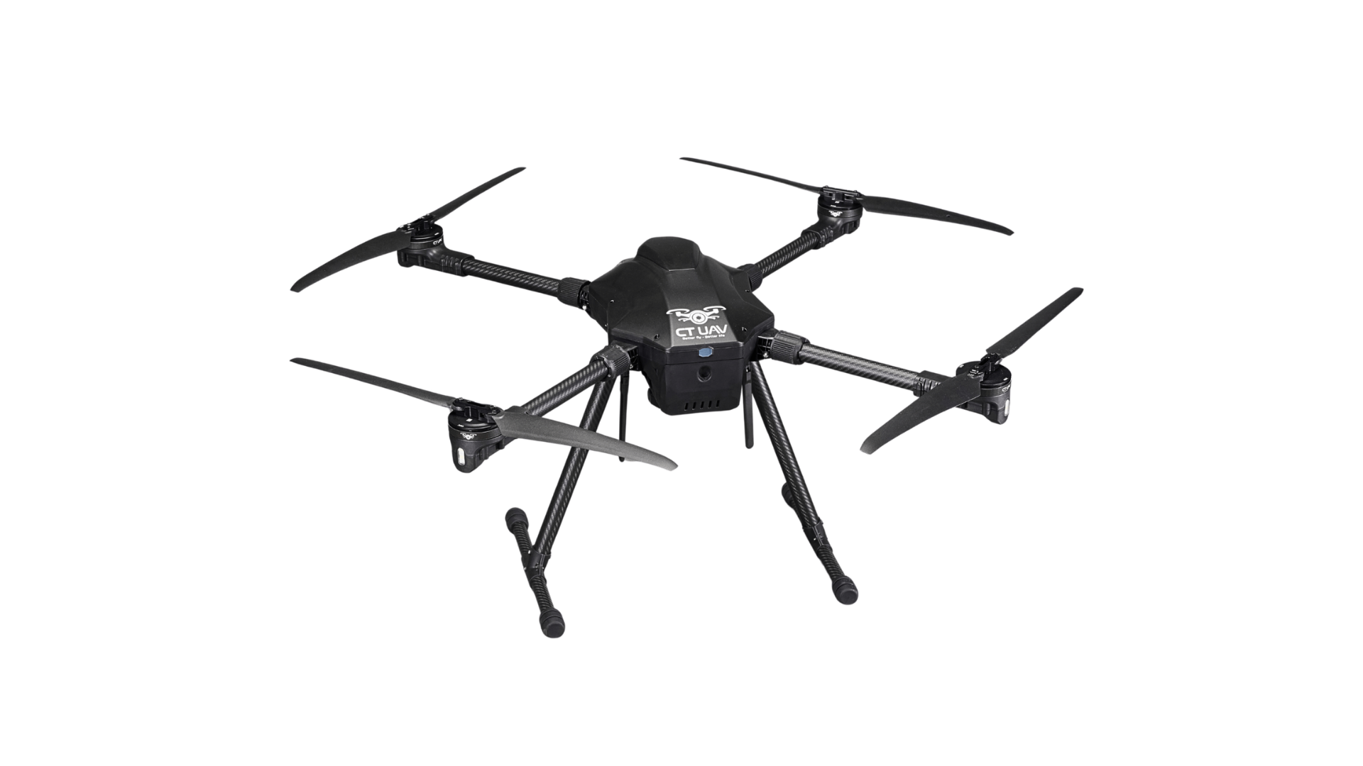
CONSTRUCTION INSPECTION UAV
Construction Inspection UAVs are used for site digitization, progress monitoring, and quality control throughout the entire project lifecycle.
PRE-CONSTRUCTION PHASE
Topographic surveying and 2D/3D site mapping to provide accurate data on existing ground conditions.
Supporting layout design & preliminary quantity takeoff by delivering comprehensive information for design and material estimation.
Assessing existing site conditions for project implementation.
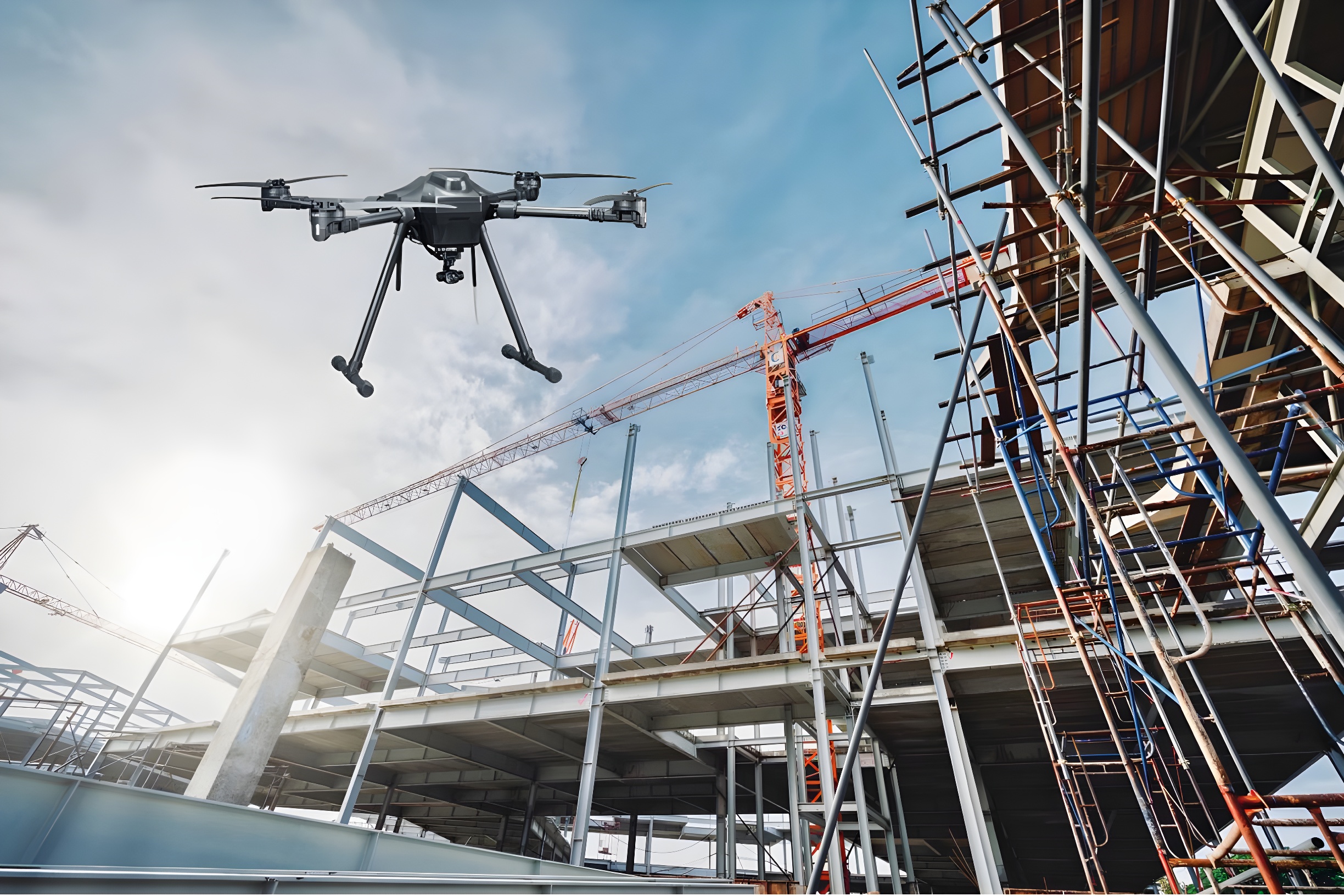
CONSTRUCTION PHASE
To promptly identify any delays against the established schedule.
Calculate cut-and-fill volumes and construction materials.
Monitor labor safety and site operations in real time.
Inspecting plan implementation.
POST-CONSTRUCTION PHASE
Collect field data to create as-built records.
Evaluate finishing quality and detect structural deviations.
Prepare a digital model to support facility management and operations.
Inspecting plan implementation.